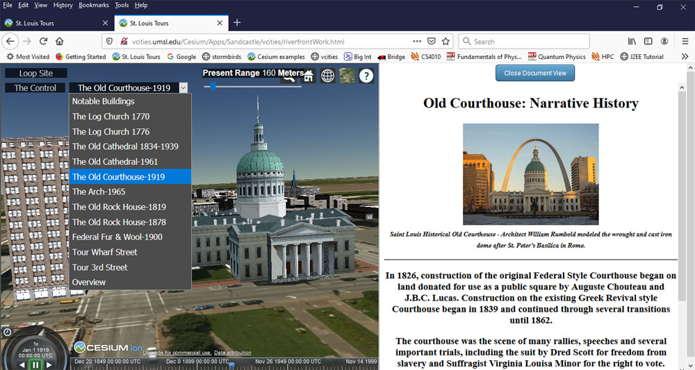
The Virtual Cities Project uses 3D Modeling Software to present lost historic urban landscapes alongside
related historical information . Using our palette of editing tools, users can
create their own 3D cities and link both text and images to landscape features.
Perhaps the greatest challenge we faced with the project was selecting an
appropriate 3D software. We deployed a number of technologies before we settled
on Google Earth, the Google Earth plugin, and the associated toolset and
libraries, which allowed us to shift focus away from implementation and instead
concentrate on developing a database of historical information and 3D models.
While Google Earth remains viable, the end of life of the plugin and the associated API forced us to go back to
finding a suitable alternative technology. In Cesium we have found such an alternative that, in many ways, is superior to the software it replaced.
The image below were captured from The Saint Louis Riverfront,using Cesium technology to provide context to various
buildings of historical significance.